Utilities

RADIO
VHF-Channel 12
COORDINATES
Lat 44°18’ , 18 N Long 009°12’ , 83 E
DESCRIPTIONS
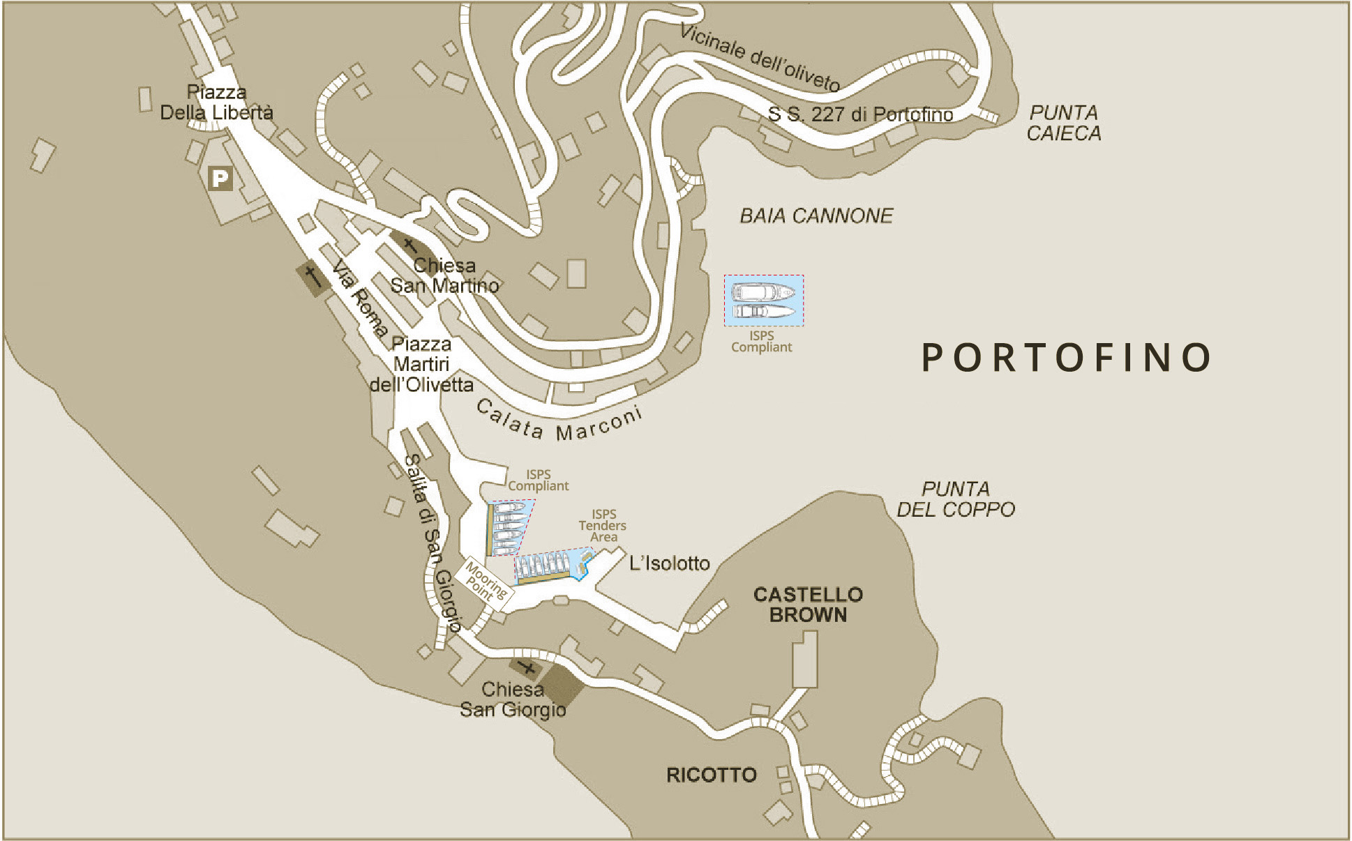
The Harbour of Portofino is totally docked, with the exception of the two moorings of Baia Cannone. 16 Boat Moorings.
DANGERS
Pay Attention to 2 shallow waters with outcropping rocks: one on the water in front of the Building of the Local Maritime Office, the other one (0.5 m) starboard of the Fuel Station.
SEABED
Seabed: sand, good holding ground. Shoal are from 1,4 to 4 – to driftwood from 1 to 1,7 – inside Harbour from 0,5 to 16 M.
ACCESS
Wait at the entrance of the Harbour, contact the Port Service Office on the VHF, Channel 12. Not moving faster than 3 knots and give way to outgoing units.
LIGHTS AND BEACONS
675 (E1244) – White flashes, 5 sec. period, Range 15 M on the Edge Portofino;
1680 (E 1246) – Green flashing beacons, period 3 sec., Range 7 M on the inside edge of the of the Local Maritime Office.
1684 (E 1248)- Red flashing Beacons, period 3 sec., Range 7 M on Punta del Coppo.
WINDS
Winds: Libeccio (SW Wind) – Scirocco (S Wind);
Traversia/Cross: Grecale (NE Wind);
Ridosso: by Mistral.
